Goat Island Preserve
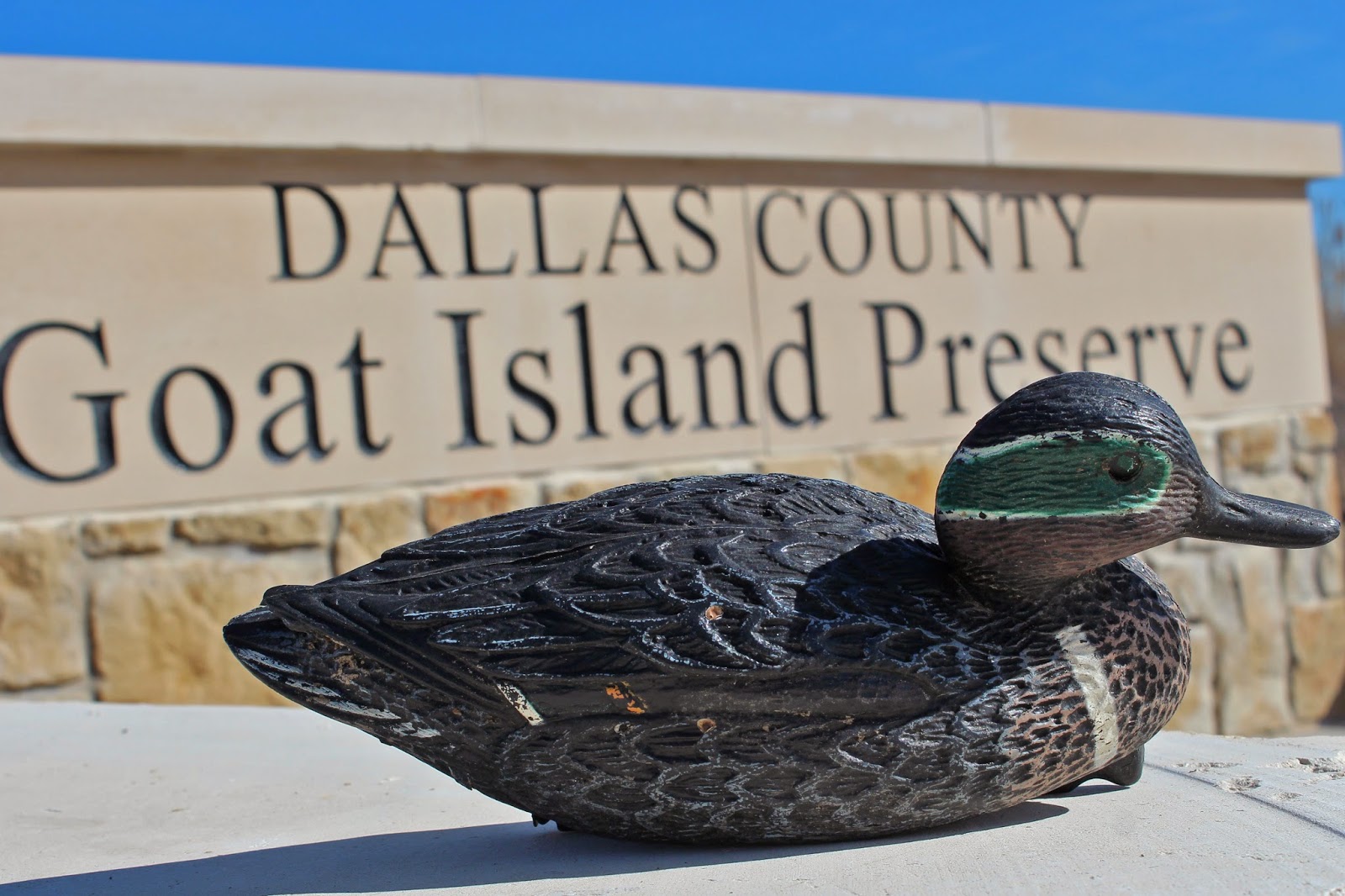 |
It’s just far enough, 5 minutes out of the city limits and five river miles downstream. Where the only floatsam trash one is likely to encounter is that of errant old battered Green Winged Teal decoys that broke loose from a hunter’s blind line upstream. A place where in art imitating life, the hunter’s quarry of the same species can be found lining the banks of the old gravel pits and sloughs that pockmark this part of Dallas County. It’s a place called Goat Island.
 |
| Green Winged Teal near the entrance to Goat Island Preserve |
It’s an under-visited, under appreciated slice of Dallas County. One where the ebbs and flows of the river take a dramatic twist or two creating a pair of islands and spill over with a roar across a 100 year old lock and dam.
Location:
2800 Post Oak Road Trailhead at 2800 Post Oak Road Wilmer, Texas
From Dallas take I-45 south to the Fulghum Road exit, head east where it eventually turns into Post Oak. Trailhead is easy to spot at one of the 90 degree bends in the road. New trailhead parking lot and sign note the entrance.
By Mountain Bike: This is actually a reachable spot from Downtown Dallas by bike. Couple different ways to get there including taking either JJ Lemmon to Miller’s Ferry Road, Wintergreen down to Post Oak or riding the nice and wide Highway 310 shoulder to where it turns into Miller’s Ferry Road south of I-20. This can be combined with the Great Trinity Forest with the jump out point being Simpson Stuart Road. Riding down the dirt trails from McCommas Bluff to Dowdy Ferry is not the best route given the blind spots of Dowdy Ferry south of I-20.
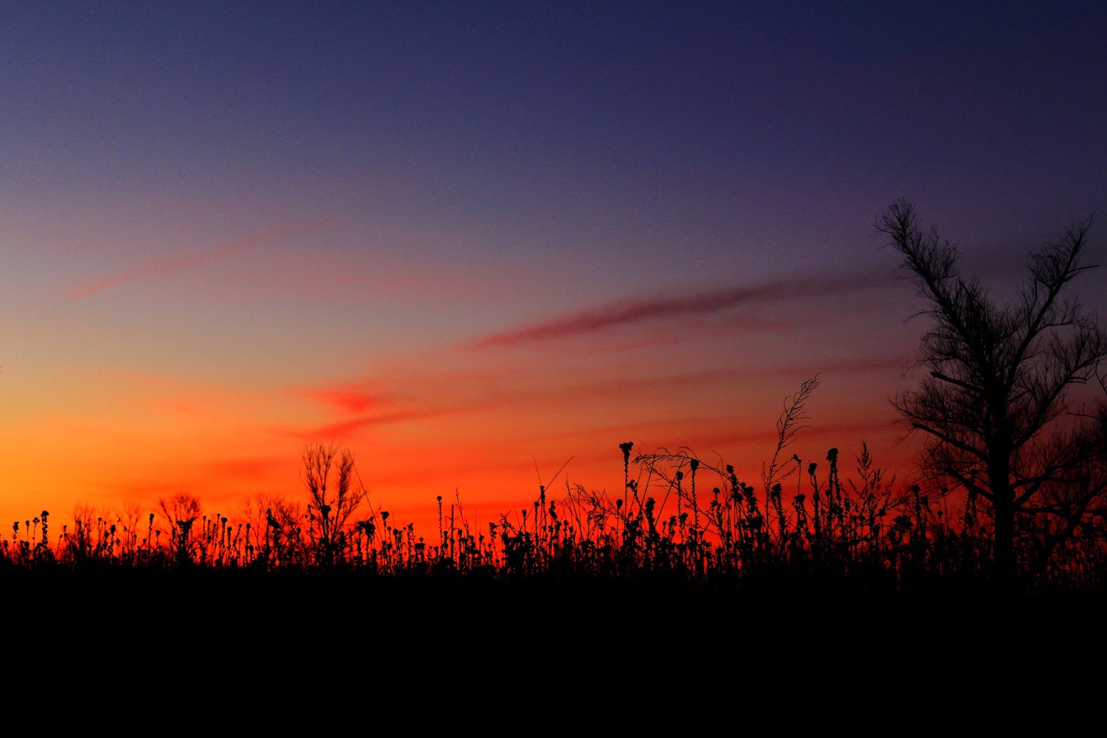 |
| Dawn breaking over Goat Island Preserve |
Goat Island Trails:
Goat Island Preserve features two cutoff meanders that create islands in the river channel when the water is high. On the west bank of the river a large 1910-1920 era levee exists that runs from Post Oak to Beltline Road. Borrow pits rest on either side and a lower dirt road trail runs between the levee and the river. Towering oaks and pecans are prominent here among succession forest. Lock and Dam #2 sits on the Trinity River just upstream of the Beltline Road bridge.
DORBA Mountain Bike Trails at Goat Island:
The Dallas Off-Road Bicycle Association is currently building mountain bike trails at Goat Island which utilize the current dirt roads as a spine with loops off of the dirt trail. Still in development they are in rough hewn flagged condition as of this writing in February 2014. More information can be found at the DORBA website as the trail develops DORBA Trail at Goat Island.
 |
| DORBA Goat Island Preserve trail map with red outlining the levee trail, purple outlining the lower road and as yet to be built loops in yellow |
Clint Murchison Sr and his Bluebird Farm
This has always been a bottomland prone to immense flooding and the ruining of a cotton crop overnight. The wide swath of land here that Goat Island Preserve sits on is a collection of old farms that once fronted the river at the turn of the last century.
 |
| Clint Murchison Sr the Wheeler Dealer |
You’d be hard pressed to find anyone that actually ever lived right down on the river here. Nearly everyone was smart enough to move some distance away to give some breathing room for the river to spread out during floods.
T. W. Holloway, J.A. Apperson, Henry Struck, Henry Smiley and J.A. Cain all farmed the length of the river here a century ago. A levee system was built around the First World War that offered moderate protection from the flooding to some degree. The levee starts near the trailhead at Goat Island and continues south all the way into Ellis County.
Those old farmers previously mentioned: T. W. Holloway, J.A. Apperson, Henry Struck, Henry Smiley and J.A. Cain were bought out piece by piece by Clint Murchison Sr who amassed a large holding of real estate down here in the many thousands of acres during the Great Depression. The land holdings went by the name Bluebird Farm, the old signs in some of the pastures still note the name on ornate steel archways. Bluebird Farm was a land holding company that had roots in Dallas and back home to the Murchisons in Athens, Texas. There is still a Bluebird Ranch there today in the town bearing the family name of Murchison.
 |
| 1900 map of Trinity River and Parson’s Slough |
Clint Murchison Sr was a native of Athens, Texas, son of a banker in town. He amassed a considerable fortune in the East Texas oil fields and later around the world as founder of the Southern Union Gas Company. Along with his childhood friend Sid Richardson they became noted philanthropists and civic leaders in the Dallas area. Clint Murchison in Dallas and Sid Richardson in Fort Worth and later the heirs of his fortune, the Bass Family. Clint Murchison Sr’s son Clint Murchison Jr is often confused with the elder. The latter owned and founded the NFL Dallas Cowboys.
Murchison Sr owned the land here for decades using it has a cotton farm, cattle grazing operation and hunting lease. In the years he was accused of selling Hot Oil in East Texas, he was running afoul of local farmers who blamed lack of maintenance on the levees here for causing floods and crop losses to those downstream. Murchison later sold a portion of the Bluebird Farm, 500 acres, land now called Goat Island Preserve to one of his own employees, Zedrick Moore.
Little Oaks Farm
 |
| Zedrick Moore and his Karakul Sheep |
No one is quite sure how the name Goat Island was coined. All signs point to Zedrick and Betty Moore’s Little Oaks Farm. They bought the land here from the Murchisons shortly after their wedding. The husband Zedrick was an employee of Clint Murchison Sr. Their old ranch house still stands today, built by them in the early 1950s. It is directly across from the entrance to Goat Island Preserve and is surrounded on three sides by graveled mining pits.
 |
| Zedrick and Betty Moore’s custom built home on the former Little Oaks Farm |
 |
| Zedrick Moore and a Karakul |
According to Michael Stricker, the nephew of the Moore’s the farm here commanded a good portion of the higher ground in this area. Covered with Post Oak, Bur Oak and Pecans, the farm was named for the vast expanse of trees in the area.
Much of the land that was once covered in trees was later mined for gravel after the passing of Mr and Mrs Moore around 1980.
The farm raised cattle, pigs, goats and as seen at left, Karakul sheep. Mrs Moore raised okra and pickled it for sale in jars at Neiman Marcus in Downtown Dallas.
Mr Stricker says that the home here has large windows and a great fireplace and mantle that he and his wife were married in front of.
The Little Oaks Farm does not exist anymore but the basic farm road and the infrastructure of the farm form the paths down into the riverbottom here from the Goat Island Preserve trailhead.
Trails In The Preserve
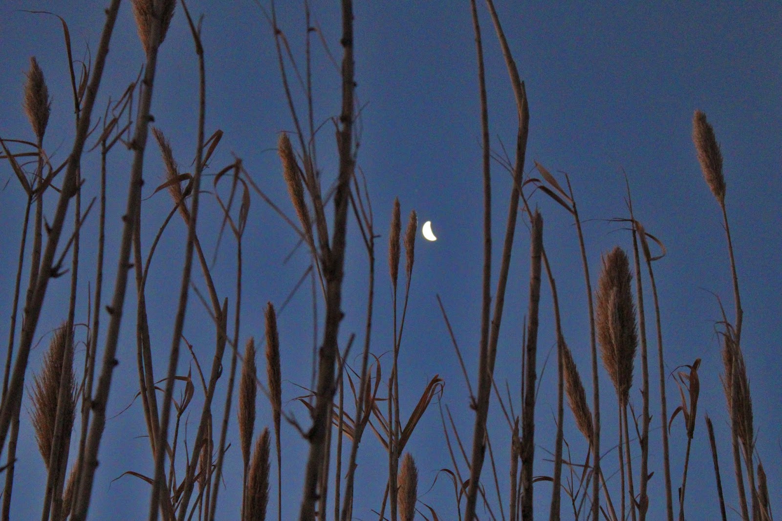 |
| The setting moon at dawn seen from inside a cane brake at Goat Island |
The double tracked trail into the preserve follows the old farm road that had pig pens and barns on either side during the Little Oaks Farm era. Some faint traces of the old farm can still be seen if you look closely through the brush. Old fence lines, some old gates and detrius from the old ranch are still visible. The old road sits on the Trinity Terrace sands, a slightly elevated piece of topography above the waxy clay of the river bottoms to the east.
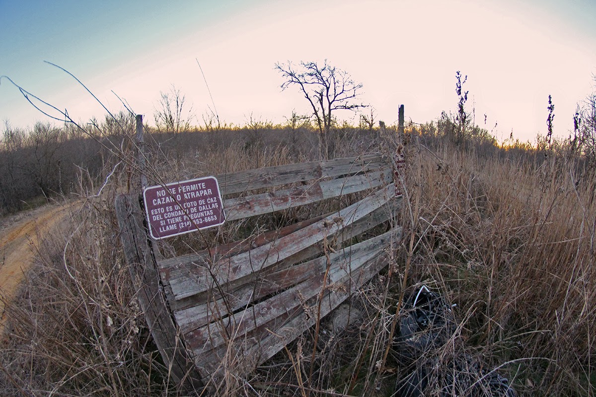
At an old piece of fence seen above, the option exists for one of two routes. The higher road follows the top of an old levee road which runs the length of the preserve down to Beltline Road. The lower road which runs between borrow pits for the levee and the Trinity River is slightly to the east and meets the upper levee road at Beltline. A high water table in the area ensures that even during the driest of weather that the low road stays wet and muddy in spots.
The Upper Road
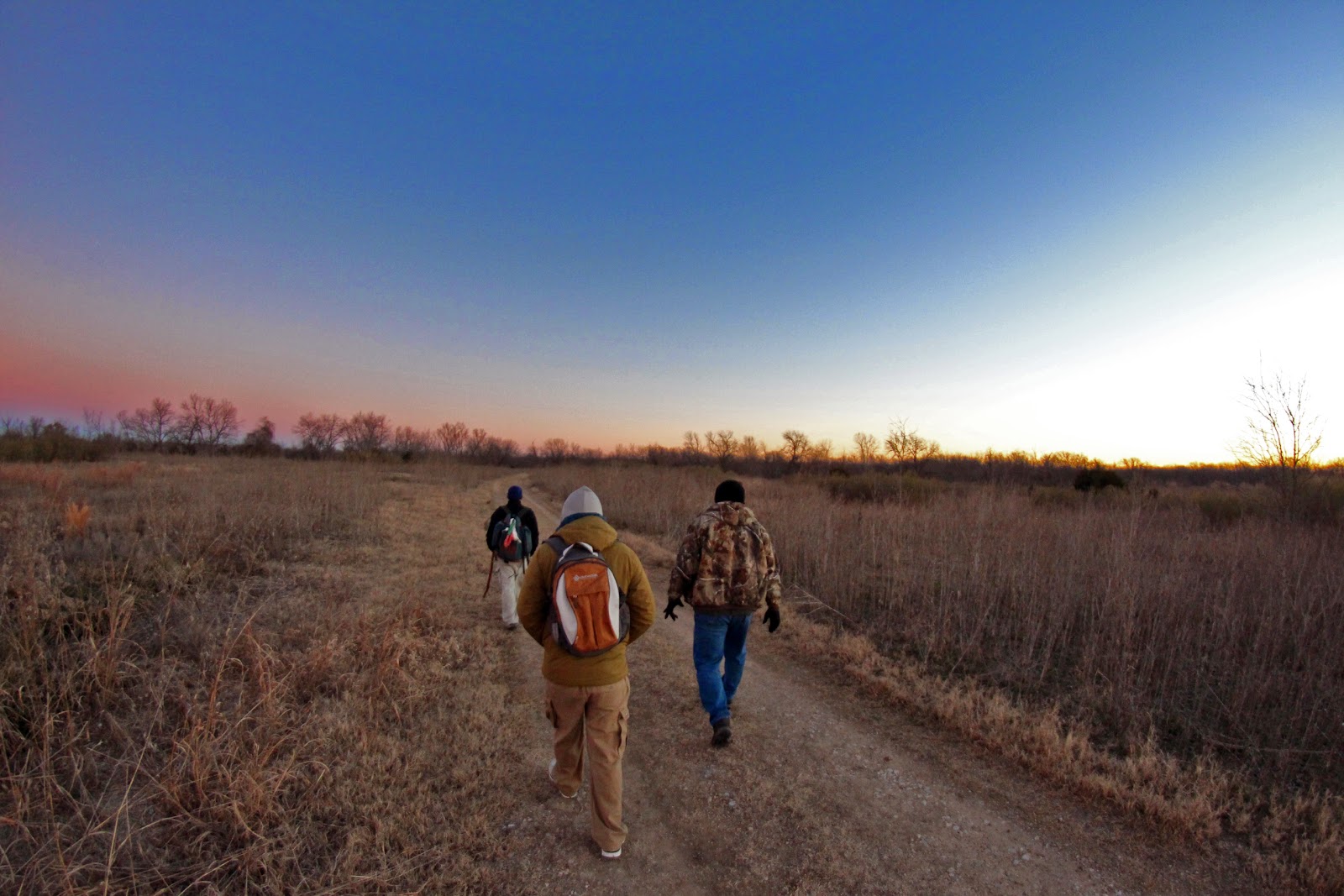 |
| Near the trailhead at dawn, headed northeast towards the high trees of the Trinity in the far background |
The northern end of the Trinity River Levee Improvement District #2 starts here. Built and improved upon many times over the decades from 1917-1950. It’s a simple piece of earthworks with dirt piled up from narrow trenched borrow pits on either side of the levee. Never designed to protect the farm fields from biblical floods, the levees here were designed to protect property from annual, decade and fifty year flood events. Unlike the more well known Downtown Dallas floodway, trees and vegetation are allowed to grow on the levees. Unclear as to whether or not they are still a functional facility for higher flooding events on the west side of the Trinity.
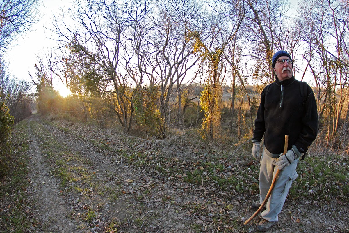 |
| On top of the levee, the plowed fields of South Dallas County Texas in the background, to the left, the hardbottom woods of the Trinity River |
From this vantage point one can gain a commanding view of the countryside, the winter plowed fields to the west and the heavily thicketed woods to the east. At one time, the whole of the bottoms here was covered by these woods, a place that swallowed up many an unfortunate wayward soul in pioneer days. A place where the smarter people avoided and dare not venture.
Today these are the flattest and fattest farm fields in Dallas County. Rich silt laden land capable of producing bumper cotton crops. Cotton is planted in late March/early April here in Dallas then harvested in August through early September. The fields here average 1,500 pounds of cotton lint per acre. It’s worth a drive down here in early summer to see the fields abloom as far as the eye can see to the horizon with cotton flowers.
 |
| Sanitary sewer lifting tower on the levee |
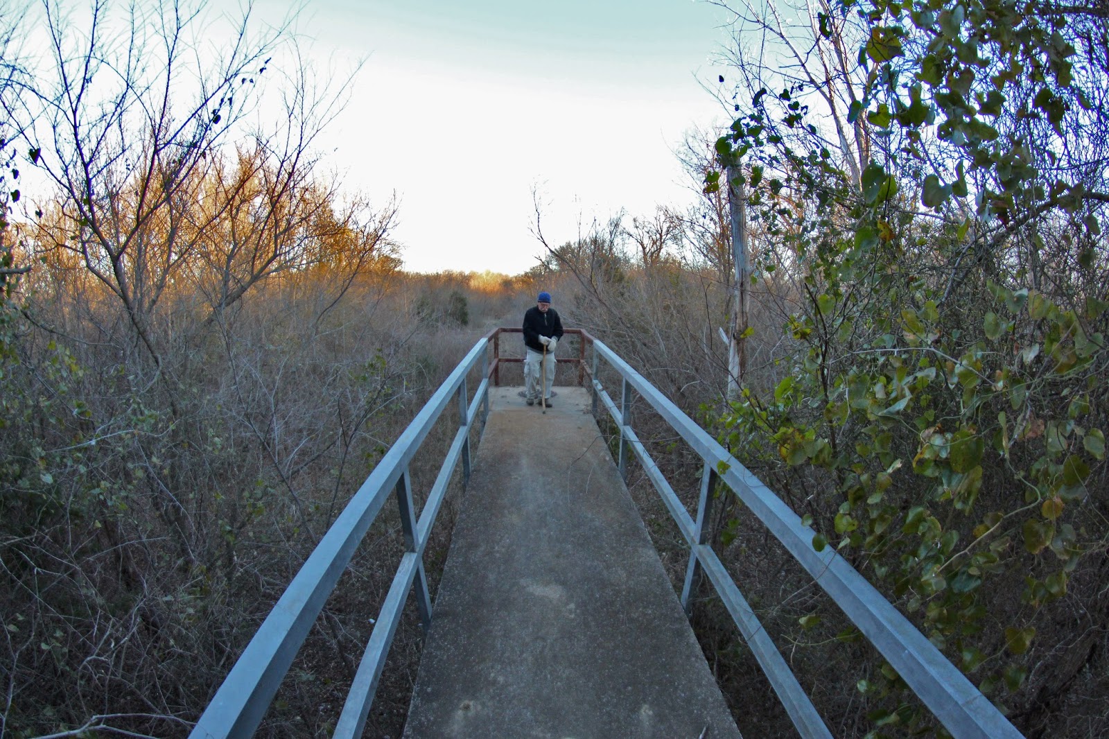
One of the only manmade features of metal and concrete visible inside the preserve is a lifting station constructed on the levee for a sanitary sewer line. It stands like a pier, jutting out to the east of the levee and is roughly two stories high at the easternmost end. A great vantage point and also serves as a landmark. From here, looking east, one can see the route needed to access the islands and meander crossings to the east.
This visit took us down the upper levee road, then looping back on the lower road to access the islands to the east. If you plan this route, make sure to look to the west for the lifting station from the lower road.
 |
| On the levee road headed south |
The levee crosses some old river meanders and sloughs visible on aerial maps and USGS surveys. The sloughs hold many ducks and wildlife. Evidence of beaver, bobcat and coyote are apparent.
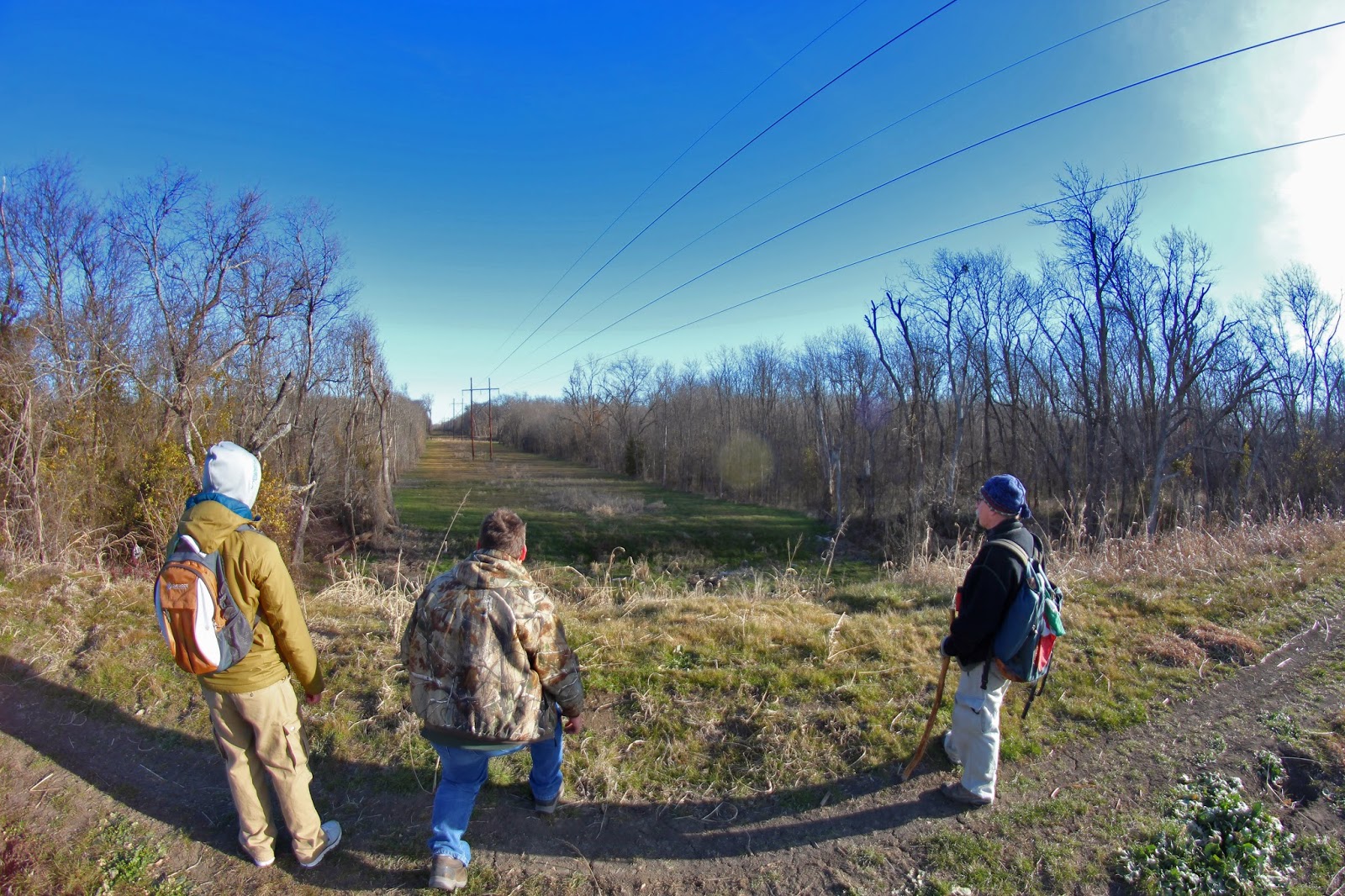 |
| Playing a waiting game with a large coyote as it makes a break across a powerline right of way |
An electrical right of way that serves the community of Sand Branch and the wastewater treatment plant on the east side of the Trinity River is a great place to observe wildlife. Here, as seen above, a waiting game is in progress between humans and a smart coyote. The coyote is playing out a waiting game some 80 yards distant, before making a fast dash across open country to the safety of the thicker woods to the left.
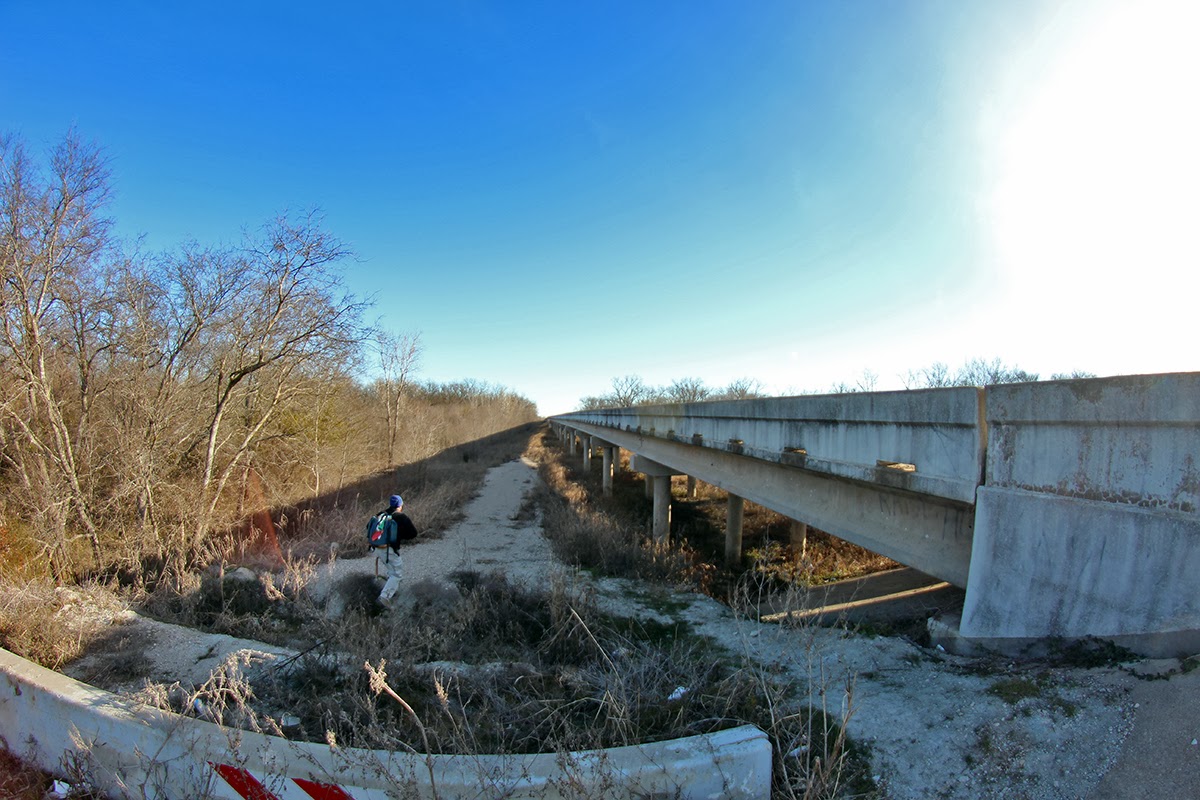 |
| Beltline Road, where the upper levee road transitions down to the lower road |
The upper and lower roads meet at the northern end of Beltline Road. A small impromptu parking area exists here, really nothing more than a gravel filled wide spot on the north side of the bridge. From here traveling east, one can pick up the lower road and trails that lead to Lock and Dam #2
The Color Purple — Understanding Private Property Boundaries In Texas
The south side of the Beltline Road Bridge is private property, a gun lease run by Mickey Lowrey, owner of Mickey’s Ammo Depot. $275 gets you a gate key for the year here. There were some cool Osama Bin Laden signs here at the entrance but have been taken down after Osama was sent to Davy Jones Locker.
Many city dwellers might not be aware of the significance of purple paint on fence posts and gates in Texas. Purple is the standard color for No Trespassing in Texas.
A law was created to allow Texas land owners an alternative to posting No Trespassing and Posted signs that would retain the same legal bite, but without the cost of signs or frequently replacing them.
 |
| Sign at Mickey’s gate, notice the purple paint |
Section 30.05 of the Texas Penal Code, dealing with criminal trespass, says that: (paraphrased) ‘A person commits an offense if he…enters property of another without consent…and that he had notice that the entry was forbidden. One of the code’s definition of notice is the placement of identifying purple paint marks on trees or posts on the property and that those marks are: vertical lines at least 8 inches long and 1 inch wide, placed between 3 feet and 5 feet from the ground, and that their placement is in locations that are easily visible to a person approaching the property and that they be no more than 100 feet apart on wooded land.
Placing purple markings around your property – as per the Texas code above – to give notice and mark boundaries does have the same legal weight as a Posted sign, unfortunately few people know what the markings mean. Food for thought.
Lock and Dam #2
 |
| Lock and Dam #2 roars as one approaches from the south |
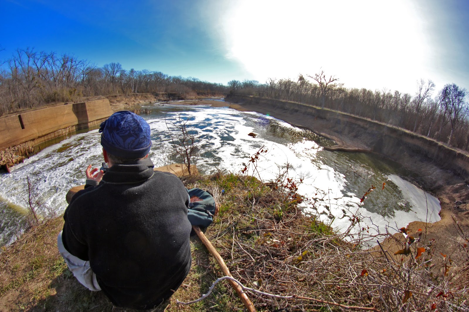
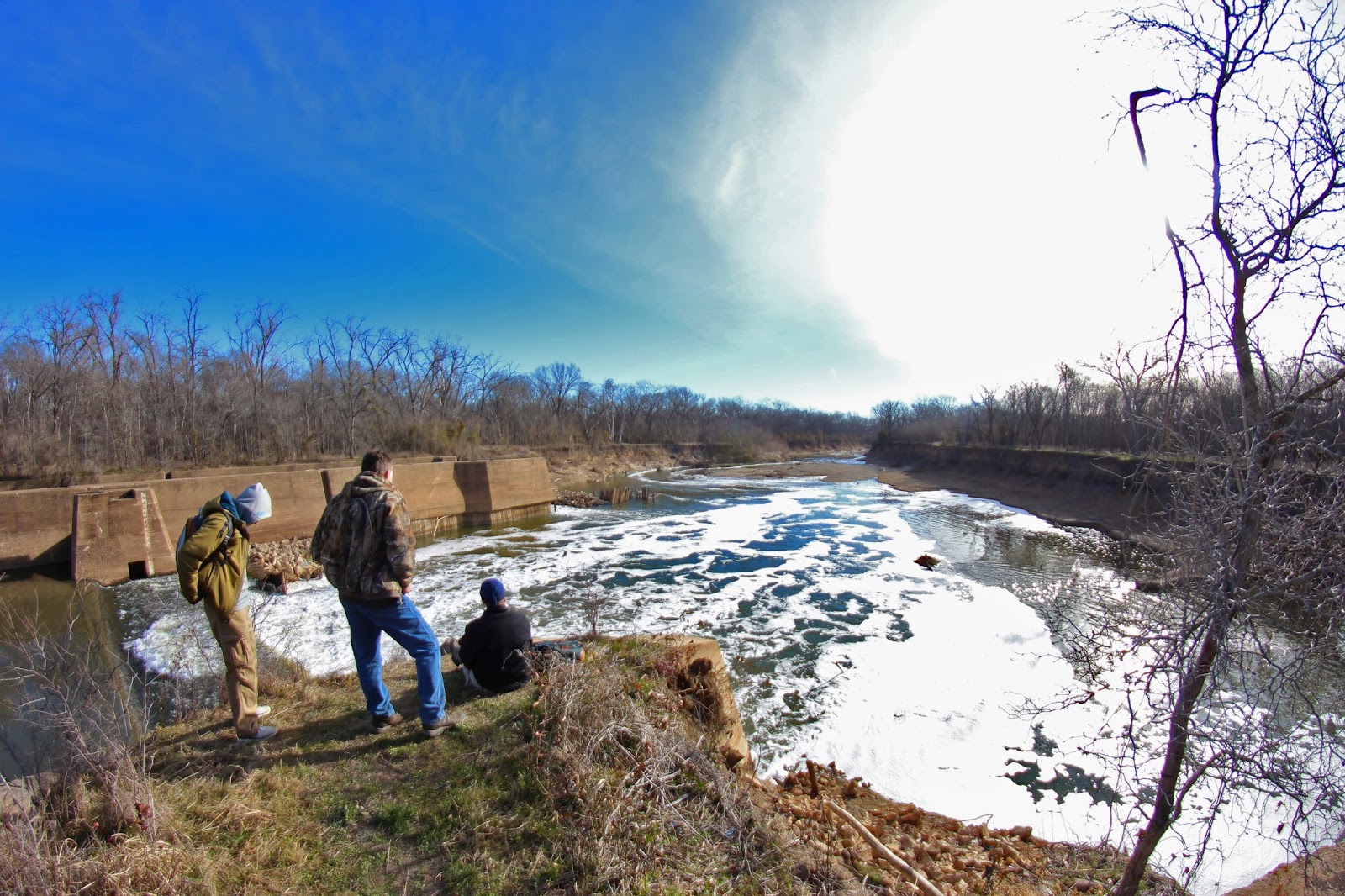
Trinity River Lock and Dam # 2 sits just upstream of Beltline Road. There are three locks on the Trinity River in Dallas County, #1 at McCommas Bluff, #2 at Parson’s Slough/Goat Island and #4 near the mouth of Ten Mile Creek/ Riverbend Preserve. All were built between 1910 and 1916.
 |
| Watching Kingfishers hunt the shallow water for a meal |
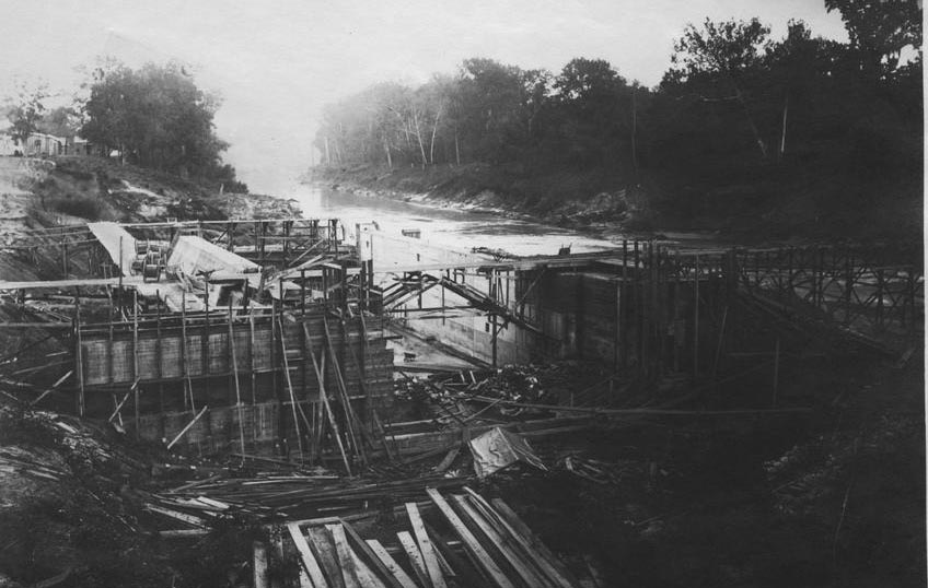 |
| Lock and Dam #2 under construction, looking downstream circa 1912 |
The locks and dams in Dallas County never saw much river traffic. The idea to harness the power of the Trinity into a navigable water way was abandoned shortly after World War I in 1922.
Leaps in technology with long haul trucks and improvements in road and rail capacity sidelined the effort to move commerce via the river. Ideas at rebirthing the locks and dams on the Trinity came in the 1930s, 50s, 60s and 70s. These ideas were fanciful pursuits for the most part, grand visions with no science to support the effort.
 Today we are left with the concrete foundations of the locks, twisted metal and fallen flood gates. Lock and Dam #2 is the most photogenic of the locks in Dallas County. The water literally roars here with long vista like approaches on either end. The other locks are constrained to some extent in the river channel and don’t have wide eroded pools on the downstream side.
Each Boule Gate that was used in the lock was 24 feet high, 30 feet long and weighed 60,000 pounds. One gate formed half of a door, 1 door on the upstream end and 1 door on the downstream end completed the lock which was designed to raise and lower boat traffic.
Video of Lock and Dam #2
The roar of the river here is enormous and is an unexpected sight and sound on a river so many people believe would lack such a thing. Really is a sight to behold and just this view alone makes it a worthwhile trip unto itself.
A foreman for Trinity Industries told us this past fall that the Trinity River Authority was studying how to best contain and address the erosion issues at Lock #2 and Lock #4. Specifically the large bowl shaped features that are being carved out of the downstream side of the locks at an accelerated rate.
 It was about the time the first European explorer laid eyes on North Texas that the Trinity River took an abrupt change of course. Cutting off a 14 mile stretch of the traditional stream bed for a more westerly course. The old riverbed became known as Parson’s Slough and the 22,000 acre area surrounded by the new and old river became Bois d’ Arc Island.
 |
| A bend in the river upstream from Lock and Dam #2, seen in background right. Parson’s Slough and the man made concrete dam to change flow is upstream left in the bend |
In 1911, the slough was permanently cutoff from the Trinity River near Goat Island Preserve. The same construction company that built Lock and Dam Number 2, built a concrete dam at the head of Parson’s Slough where it meets the Trinity. Twenty feet high and two hundred feet wide, the goal was to permanently send the river down the new channel rather than risk a flood putting the river meander back in the old. Now buried under dozens of feet of silt, it cannot be seen from the west bank.
It sits near the outflow channel near the Southeast Wastewater Treatment Plant. Buried. Only during times of the very highest water flows would the dam become a spillway. Combined with some levee projects in the 1920s, this left Parson’s Slough high and dry from the Trinity. The flood prone area now known as Bois d’ Arc Island now serves as some of the very richest farmland in Dallas County. Much of which is owned by Trinity Industries for future gravel mining.
 |
| Permanent muddy and impassable sections abound on the lower road at Goat Island |
 |
| More high water table seeps creating wet conditions |
Despite a fairly dry fall and winter in North Texas, the lower road is wet as if it rained just the week before. The near permanent seeps here signify a shallow water table.
The DORBA mountain bike trail has been flagged through this area with work arounds for the muddiest of spots. Still in a flagged stage to a large degree, completion is rumored for later this year. The roads and dirt are rideable now, the pig paths and meandering coyote trails are too. Just don’t expect a butter smooth and groomed ride.
The Trinity River has not experienced an overbanking event that would push water into this area since March 2012, almost two years ago. When that occurs, not only do the lower sections have standing water for long periods of time but the higher sections do as well.
There is at least one large feral hog trap, corral style up this way and visible from the lower road. It appeared to be abandoned to some extent and not operable. Ownership of unknown provenance.
Some areas that can become completely surrounded by water even during modest water levels in the river are the cutoff oxbow islands that give the preserve it’s name.
Goat Island
 |
| Hiking cross-country on Goat Island |
 Access to the islands can be made fairly easily using a pipeline right of way that runs roughly west to east across the levees and then transits the Trinity River to the wastewater treatment plant.
The point of reference to finding this spot is to locate the large lifting station structure on the west bank levee of the Trinity River and then follow the right of way.
In winter the hike in is easy and a mountain bike would make quick work of the terrain with ease. The larger Red Oaks, Pecans and Walnuts give way to more Ash and Bur Oak here as the terrain gets lower and more prone to sustained flooding events. The random white trunk or two of sycamores are down here as well.
Like most areas on the Trinity River, one does not encounter heavy briar thickets and privet until the last 30 yards around the riverbank. The waist high thickets are ones most generally avoid.
 |
||
| Crossing one of the oxbows where the sewer line has a concrete protected crossing |
Unless you want to swim or get hip deep in mud, the sewer line crossing at the westernmost oxbow is the only place to cross. Resembling a hill country low water crossing, the elevation is scarcely high enough to prevent wet feet in the driest of weather. This area will rapidly flood as it serves as a path of least resistance for the Trinity River.
 |
| Second low spot that acts as a meander for the Trinity |
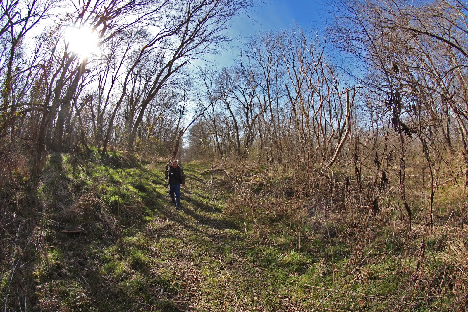
The second island is just east of the first and is separated by a deep meander that lacks a concrete crossing. This is a very scenic spot, with large Bur Oak trees lining the meander on both sides. Many are quite large.
The river’s shores around the islands here are dirt and steep, some twenty feet surmounted by cottonwood, willow and driftwood rafts. The hard limestone and sand beaches of the river sit on the opposing bank.
Egress out of the area is simple using the lower or upper roads with many interconnecting animal trails between the two. At some point in the near future, the plan is to create a soft surface greenbelt trail along the levees that joins Goat Island Preserve and Riverbend Preserve to the south. Since this is unincorporated Dallas County and without a civic push it might be awhile before that becomes a reality. The first objective according to the county is to block vehicle access with gates and fencing.
 |
| Red-Tailed Hawk at Goat Island |
